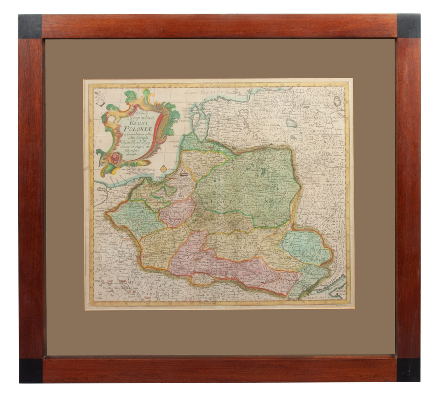
Leonhard Euler, Tabula Geographica Regni Poloniae…, Berlin, 1760
 Description
Colored copperplate engraving.
Framed: 51,5x56 cm (32x38 cm)
Map of the lands of the Commonwealth, after 1760. Included in the revision of Euler's atlas "Geographischer Atlas - Atlas Geographicus - Atlas géographique", published by J. M. Kunst. Very rare.
Price:
Vendor:
-
Product code:
12875